БОЛЕЕ 600 ОНЛАЙН ИГР НА ЛЮБОЙ ВКУС ! МНОЖЕСТВО КАТЕГОРИЙ ! ВОЗМОЖНОСТЬ СКАЧАТЬ ИЛИ ДОБАВИТЬ В ПОПУЛЯРНЫЕ СОЦИАЛЬНЫЕ СЕТИ ОДНОКЛАССНИКИ, ВКОНТАКТЕ, FACEBOOK...!
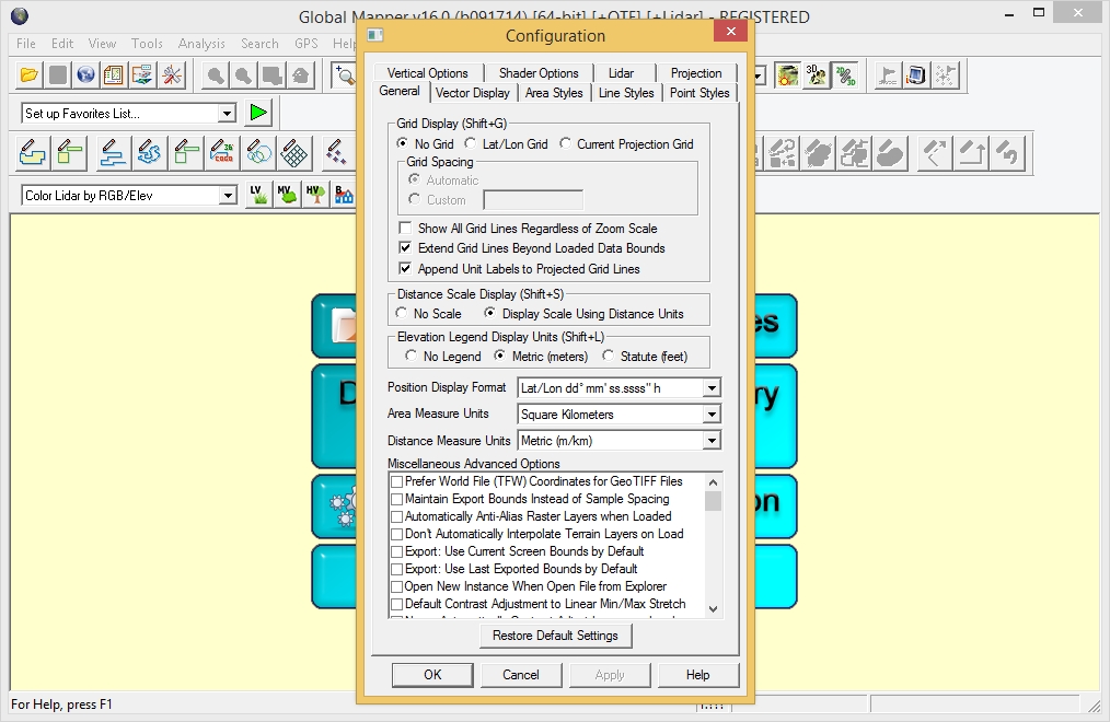
Global Mapper - это универсальная программа, позволяющая просматривать, конвертировать, преобразовывать, редактировать и распечатывать различные карты и векторные наборы данных. Ваши данные могут быть загружены в качестве слоев, или быть загружены как отсканированная топографическая карта для 3D изображения местности. Программа может работать в реальном времени, загружая данные с присоединённого к компьютеру GPS приёмника. Global Mapper поддерживает огромное количество форматов, имеет много различных инструментов и опций. С ее помощью можно подсчитывать расстояния от одного объекта до другого, подводить контуры изображения, настраивать контрастность и многое другое.
Возможности программы: • Поддержка просмотра основных форматов данных • Прямой доступ к DigitalGlobe, TerraServer-USA, WMS и другим источникам • Поддержка просмотра 3D ландшафтов • Обрезание, перепроектирование и слияние любых комбинаций растровых данных и данных возвышенностей • Оцифровывание новых векторов с возможностью их перемещения • Совместимость с GPS устройствами через компьютерный серийный порт или USB порт • Поддержка конвертации между большим списком проектных систем и исходных данных • Экспорт в векторные и растровые данные • Графическое исправление любых JPG, TIFF или PNG изображений и сохранение результатов в новое изображение • Создание контуров для любых комбинаций данных возвышенностей • Загрузка и отображение JPG изображений со встроенными EXIF данными о позиции • Поддержка NASA World, Google Maps, Virtual Earth • И многие другие возможности
What's new in version 16.0.0: • Significant New Features: • Dramatically sped up many operations by making use of multiple cores. The following operations are now much faster in most cases: • Contour Generation • View Shed Calculation • Gridding of 3D vector features • Search by Attributes/Name • Creation of area features from equal colors/elevation/slopes • [LIDAR MODULE ONLY] Automatic classification of Lidar ground points (20X as fast or more) • [LIDAR MODULE ONLY] Initial display of height-above-ground color for Lidar point clouds • Reprojection of layers covering a large area of the world • [LIDAR MODULE ONLY] Added option to automatically classify building and high vegetation (i.e. tree) points from a raw Lidar point cloud. This is a very powerful option on the Lidar toolbar (and via the LIDAR_CLASSIFY script command) that, combined with the existing (and much-improved) option to automatically classify Lidar ground points, allows automated classification of over 90% of ground, building, and high vegetation points from a raw Lidar point cloud. • [LIDAR MODULE ONLY] Added option to automatically extract building outlines from classified Lidar point clouds. This is a very useful option on the Lidar toolbar that, combined with the automatic classification and manual cleanup tools, can allow very efficient extraction of 3D building outlines from Lidar point clouds. • [LIDAR MODULE ONLY] Added option to automatically extract tree points/areas from classified Lidar point clouds. This is a very useful option on the Lidar toolbar that, combined with the automatic classification and manual cleanup tools, can allow very efficient extraction of tree points (with crown height and width attributes) as well as approximate tree coverage areas from Lidar point clouds. • [LIDAR MODULE ONLY] Added options to filter Lidar points by class/elevation/color/scan-angle/source-ID/etc. when exporting, gridding, and selecting from point clouds. • Added option to plan and record a 3D fly-through as a video file. New toolbar buttons on the 3D dialog allow setting up and recording a high-definition 3D fly-through. • Support rendering textures on 3D polygons in the 3D view. This allows for the creation of photo-realistic 3D model views when loading 3D data that has texture images included. There is a drop-down on the 3D toolbar to select the Skybox background for the 3D display. • Added a Graph and Chart Manager under the Analysis menu to allow creating graphs and charts from loaded data. The following type of operations are supported: • Bar graph, histogram, line chart, or bar chart from any attribute field in loaded vector layers. • Histograms for gridded terrain layers (i.e. DEMs) • You can save the graph to a BMP file and place it on the map as a fixed screen position layer. • Graph definitions are saved in the workspace file for easy saving and sharing. • Added option to export selected layers with new right-click option in Control Center. This finally lets you easily export just one or more layers without having to disable the others, export, and then re-enable them. • Added built-in streaming online ASTER GDEM v2 worldwide terrain data set at higher resolution (just over 30 meters) and from a much faster/more reliable server than the previous streaming ASTER GDEM v1 data set. • Removed GEM module. All functionality that was present with the GEM add-on module is now part of the base package. • Added new GeoCalc toolbar to access Blue Marble’s Geographic Calculator coordinate transformation library if you have that installed. The new toolbar has buttons to enable/disable GeoCalc projections and settings and also a dedicated button to launch the Geographic Calculator. • Fixed security issue with MAPI.DLL. Secunia Advisory SA 51510/CVE-2013-0727.
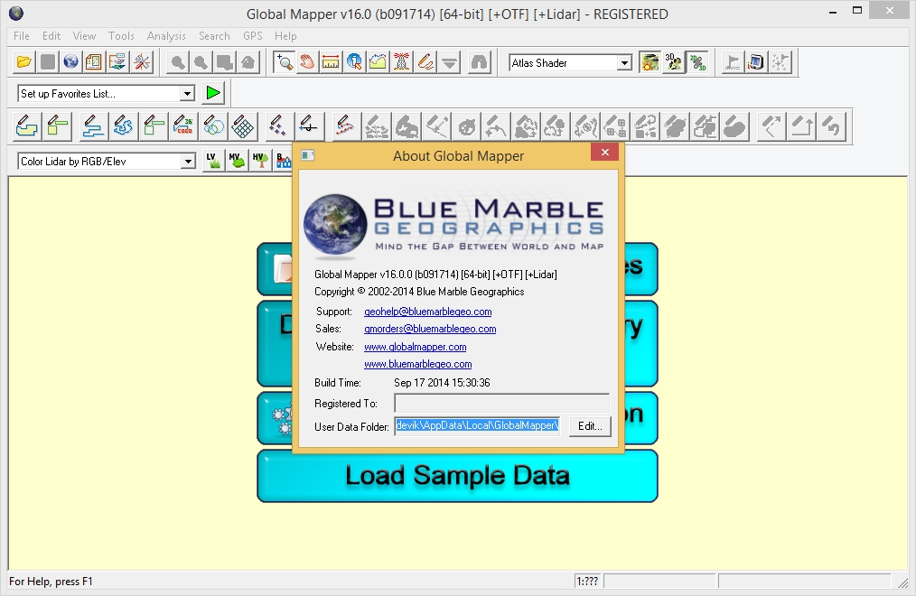
Год выпуска : 2014 Лекарство : в комплекте (Patch REPT) Операционная система : Windows® XP|Vista|7|8 & 8.1 Страница программы : bluemarblegeo.com Язык интерфейса : english Размер : 104 Mb | 111 Mb
Уважаемый посетитель, Вы зашли на сайт как незарегистрированный пользователь. Мы рекомендуем Вам зарегистрироваться либо войти на сайт под своим именем.
Информация
Посетители, находящиеся в группе Гости, не могут оставлять комментарии к данной публикации.
Посетителям:
Здесь вы можете скачать бесплатно, без регистрации и смс программы, игры, windows, музыку, софт, Русскую рыбалку, взлом и секреты одноклассников и вконтакте, книги, Total Commander, Yasu, скрипты, скачать ключи к kaspersky и drweb, crack, photoshop, трейнеры и nocd для игр, и многое другое. Играть во флеш игры онлайн. На сайте представлено множество полезной информации.
Welcome to our site. Here you will not find the information on cars and motorcycles, currencies and quotations of securities, the real estate, insurance, the medical, political, financial, legal and other information which are not concerning a software and the multimedia data. For us you can find and download free of charge, without what or registrations - the newest films, fresh music in format MP3, flash games, breaking and the secrets of my classmates and VKontakte, novelties of games for PC and the consoles, interesting and beneficial programs and utilities as from eminent manufacturers of a software, and to anybody unknown programmers. You can always download under links from our site of Windows XP, Vista, Windows 7 Seven, Microsoft Office with the newest upgrades, Adobe Photoshop, 3D Studio Max, AutoCAD, Total Commander, Kaspersky Anti Virus, Kaspersky Internet Security, DrWEB and other known antiviruses, wall-paper for a desktop, e-books, scripts for web designers, trainers, Nocd, cracks and keygens to programs, serial keys and many other things.
Все материалы найдены на просторах сети интернет как свободно распространяемые и выложены исключительно в ознакомительных целях. Если вы являетесь законным правообладателем какого либо продукта и против его размещения на данном сайте, сообщите нам и мы немедленно удалим данный материал. Администрация сайта не несет ответственности за действия посетителей, нарушающих авторские права.
All materials are found on open spaces of a network the Internet as freely extended and laid out exclusively in the fact-finding purposes. If you are what lawful legal owner or a product and against its placing on the given site, inform us and we will immediately remove the given material. The administration of a site does not bear responsibility for actions of the visitors breaking copyrights.